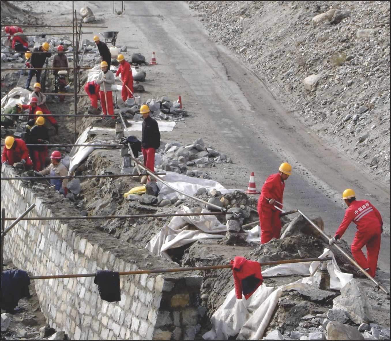
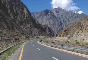
Chinese infrastructure along Indian borders
As prime Indian military objective in the event of an outbreak of hostilities between a Pakistan-China collusive alliance against India, STRATEGIC AFFAIRS in its March-April issue, has already pinpointed the Karakoram Highway/railway/pipeline alignment through Pakistan and China-occupied Jammu and Kashmir. Breaking this link at several geologically difficult portions can render it unuseable for years as the landslide and formation of a huge lake north of Gilgit at Attabad in 2010 did to communications between Pakistan and China. China has been in occupation of the Shakshgam district of Jammu and Kashmir since Pakistan ceded it in 1963.
There are several obvious collateral benefits from this approach, the first being that it will delink Pakistan from China. It will end the fait accompli that has confronted India since the moment of its birth of being a victim of proxy war. It will end the myth of ‘Kashmiri freedom fighters’ leading the struggle to coalesce with Pakistan. It will force China to travel half-way round the globe to try and protect its energy supplies from the Gulf States and Saudi Arabia from interdiction by India. Most importantly of all, it will rid India of the Chinese label of being a ‘paper tiger’.
To ease the pressure of Chinese military operations all along the northern Himalayas from Arunachal Pradesh in the east to the Pangong lake in Ladakh in the west India will have to be able to deal with the China National Highway 219 (G219). It was the alignment of this road through a large chunk of Aksai Chin that triggered the Chinese invasion of 1962 which largely concentrated on a deep thrust into Assam that threatened to delink the whole of the north-east region from India.
Prioritizing objectives
India’s primary military objective in any future conflict with China would have to be one of containment and prevention of a breakout through the invisible Line of Actual Control to the cross-Himalayan foothills on this side. China’s National Highway G219 will be centre stage in this eventuality. Traversing nearly 2,100 km from west to east it bisects Aksai Chin and provides access to Chinese troops to any point of their choice and that is why Chinese intrusions have been persistent in Chumar and Depsang in the Ladakh region of J&K.
The road traverses territory is at times as close as ten kilometres as in Himachal Pradesh and up to 75 km in Uttarakhand. But by the use of all-terrain motorcycles, the People’s Liberation Army is able to keep India off-balance by frequent intrusions in this western sector. A large part of the G219 is contiguous to the Nepal border. Nepal is connected to the Tibetan capital Lhasa in the north east by the 800 km Friendship Highway through Sigatshe on the Chinese side and Kodari on the Nepal border. Highway G318 creates a tri-junction with G219 and the Friendship Highway.
This east-west continuum of infrastructure lies north of the River Brahmaputra or the YarlungTsangpo as it is called in Tibet and bridges and arterial roads allow for easy transportation of troops and logistics right up to the foothills of the north side of the Himalayas. It is this network that makes it possible for Chinese troops to be able to mass up to 30,000 troops within a span of a day at any point of contention. India will have to find a way to disrupt the G318/G219 continuum of blacktop macadamized road capable of taking wheeled and tracked military vehicles.
As a priority, it would be the bridges over the Brahmaputra that will have to be demolished to prevent the PLA to use its human wave tactics to overwhelm Indian defences that are extremely thinly held.
A sector-wise analysis shows that the north-east segment of the Line of Actual Control in Arunachal Pradesh and Sikkim remain the most vulnerable. If the Parliamentary Standing Committee on Defence should notice that the Chinese Army can reach the much-covet prize of Tawang and its monastery faster than the Indian Army it should be expected that some method is evolved to neutralize this failing.
Air power
Hopeful signs are the reactivation of World War II airfields in the north-eastern States and induction of deep penetration fighter bombers in a show of intent. If air power is used to demolish the Chinese infrastructure it could help slow down the rate of surge that the PLA had planned to execute.
Because there is a possibility that the political leadership may balk at deploying air power to prevent an escalation ways and means need to be evolved to try and stop the Chinese hordes at pre-determined killing zones all along the thin belt between the Brahmaputra river and the northern Himalayan foothills before they make contact with Indian border guards.
The towed version of the Bofors 155 howitzer has been inducted into Sikkim sector but the road network in Arunachal Pradesh is extremely insufficient. Given this fact, the Indian Army engineers should be asked to find ways to take the Pinaka multibarrel rocket launchers to points that will bring the terrain beyond Tawang within its range.
There are several reasons why this could have the desired effect of creating wide killing zones south of the Brahmaputra. For one, it is a completely Indian weapons system. It fires a salvo of 12 high explosive rockets in 44 seconds covering an area of 3.9 square kilometres. The Mark I version, used most effectively during the Kargil war, has a range of 40 km and the improved Mark 2 version can land its rocket 65 kms away. A Mark 3 version with a range of 120 km is under development. A warhead of 214 calibre is truly enormous and if pre-fragmented can shower a long and broad swath with flying metal to decimate China’s manpower intensive army.
The Mark 3 version should be expedited and it need not be required to station it on the forward edge of battle. From well behind the battle lines it can demolish the attacker long before he can make contact with our troops.
Since the scarcity of roads is a problem an innovation can be tried. Since the MBRL system consists of two clusters of six rockets each, the manufacturers (Tata Power SED, Larsen and Toubro and Ordnance Factories Board, the Armament Research and Development Establishment laid the seed) should consider separating the clusters into two canisters of six tubes each to reduce the bulk and the weight and make it both helicopter and mule transportable in knocked down condition. The rockets themselves can also be delivered by helicopter to pre-prepared gun sites. The tactic of ‘shoot and scoot’ may have to be abandoned because of the absence of roads.
Given the nature of the terrain the several modes of operation of this weapon system can be used. It is made for autonomous mode; stand-alone mode; remote control mode and manual mode (the names are self explanatory).
With everything, including the munitions for the Bofors howitzer required to be imported, the Pinaka weapon system stands out like a lone sentinel in India’s foreign-plagued arsenal. Since the manufacturers have already demonstrated that they can deliver an entire unit within six months, this seems to be the best way to go.


